Social Profiles
NRRC on Facebook
Events
About
Contact Us
Navarro River Resource Center
Fostering land stewardship in the Navarro River Watershed
Menu
Skip to content
Menu
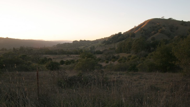
Watershed Overview
Projects
What You Can Do
Resources
Supporting Landowners to Conserve and Restore the Navarro River Watershed
Learn what you can do
NRRC projects benefit people, fish, and the environment.
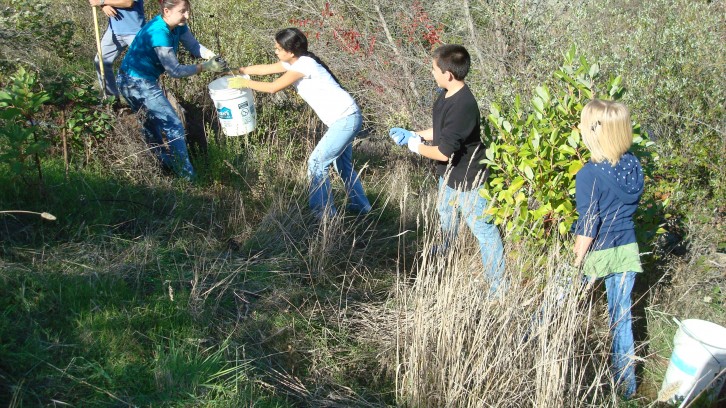
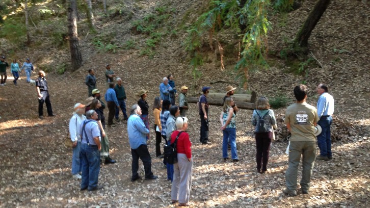
Volunteer Work Days
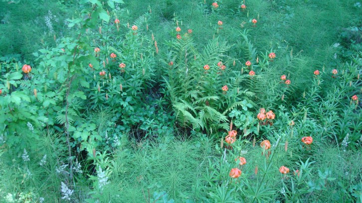
Native Plants and Pollinators
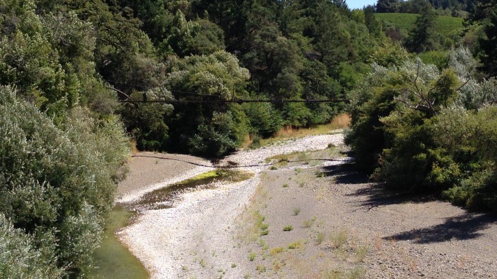
Drought Resilience
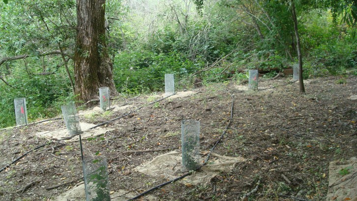
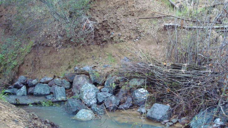
Riparian Revegetation
Workshops
Land Stewardship
Stream Bank Stabilization
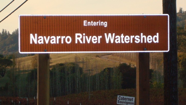
Watershed & Creek Signs
 Navarro River Resource Center
Navarro River Resource Center
Navarro River Resource Center